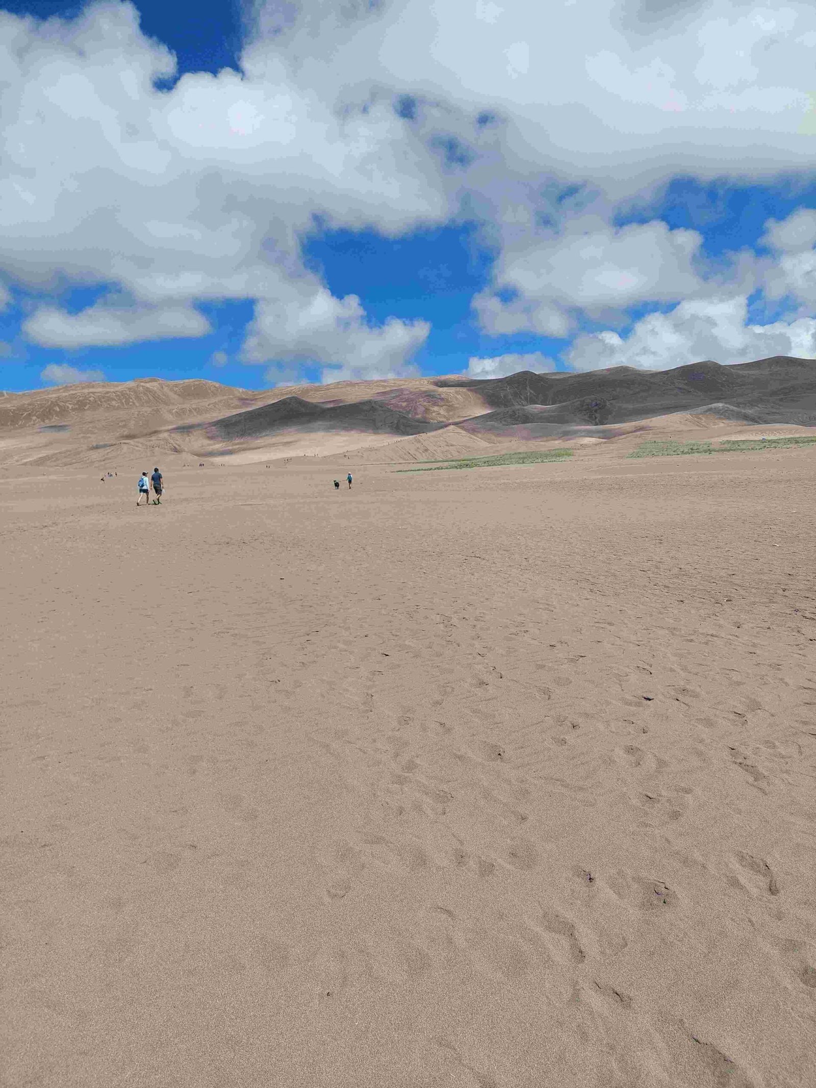
The geologic history of Great Sand Dunes National Park spans millions of years, encompassing tectonic collisions, volcanic eruptions, and the formation of massive lakes. This unique landscape in Colorado’s San Luis Valley was shaped by the interplay of mountain-building forces, erosion, and wind patterns. The park’s iconic sand dunes, some reaching heights of 750 feet, are the result of complex geological processes that continue to this day.
What are the Major Geological Events that Shaped Great Sand Dunes National Park?

The formation of Great Sand Dunes National Park can be traced through several key geological events:
- Tectonic Collision (80 million years ago)
- Volcanic Activity (35 million years ago)
- Formation of San Luis Valley (tens of millions of years)
- Existence of Lake Alamosa (440,000 years ago)
- Drainage of Lake Alamosa and Sediment Deposition
- Glacial Melting and Sand Exposure (Pleistocene epoch)
- Ongoing Dune Formation (tens of thousands of years to present)
How Did Tectonic Activity Influence the Park’s Formation?
The foundation of Great Sand Dunes National Park was laid approximately 80 million years ago when the Farallon Tectonic Oceanic Plate collided with the North American continental crust. This monumental event triggered the formation of the Rocky Mountains, including the San Juan and Sangre de Cristo Mountains that flank the park today.
What Role Did Volcanic Activity Play in the Park’s Geology?
About 35 million years ago, intense volcanic activity in the region resulted in:
- Eruption of numerous volcanoes
- Deposition of vast amounts of lava and ash
- Formation of igneous rocks in the San Juan Mountains
This volcanic activity contributed significantly to the diverse geology of the area and provided source material for the future sand dunes.
How Did the San Luis Valley and Lake Alamosa Form?

The formation of the San Luis Valley, which houses Great Sand Dunes National Park, was a gradual process:
- Rio Grande Rift: Over tens of millions of years, this rift caused the valley to form and expand.
- Mountain Uplift: The Sangre de Cristo and San Juan Mountains rose on either side of the valley.
- Lake Alamosa: Approximately 440,000 years ago, a large lake called Lake Alamosa covered much of the San Luis Valley.
What Happened After Lake Alamosa Drained?
The drainage of Lake Alamosa around 440,000 years ago set the stage for the formation of the sand dunes:
- Sediment Exposure: As the lake drained through the Rio Grande, it left behind large amounts of sediment.
- Smaller Lakes: Some smaller lakes remained, continuing to deposit sediment.
- Wind Erosion: Exposed sand was blown by southwest winds toward the Sangre de Cristo Mountains.
How Did the Dunes Form and Continue to Evolve?
The formation of the dunes is an ongoing process that has occurred over the last tens of thousands of years:
- Sand Accumulation: Sand accumulated in a natural pocket at the base of the Sangre de Cristo Mountains.
- Wind Patterns: Prevailing southwest winds and opposing wind directions during storms contribute to dune formation.
- Continuous Process: This process continues to the present day, maintaining the dune field.
What are the Unique Wind Patterns that Shape the Dunes?
The dunes are shaped by a complex interplay of wind patterns:
- Prevailing Southwest Winds: These blow sand from the valley floor toward the Sangre de Cristo Mountains.
- Storm Winds: During storms, winds blow back through the mountain passes.
- Vertical Growth: The opposing wind directions cause the dunes to grow vertically.
What Types of Sediment Contribute to the Dunes?
The sand in Great Sand Dunes National Park is a mixture of various sediment types:
| Sediment Type | Origin | Characteristics |
|---|---|---|
| Quartz Grains | San Juan Mountains | Fine, white |
| Volcanic Sediment | San Juan Mountains | Dark |
| Larger Rocks | Surrounding Mountains | Deposited by flash floods |
How Do Modern Processes Continue to Shape the Park?
Several ongoing processes contribute to the maintenance and evolution of the dunes:
- Creek Capture: Sand is captured by creeks such as Medano Creek and Sand Creek.
- Sand Recycling: These creeks flow around the dunes and then disappear into the sand sheet, recycling the sand back into the dune field.
- Wind Funneling: The mountain passes funnel winds, contributing to the accumulation and vertical growth of the dunes.
What Educational Resources are Available to Learn About the Park’s Geology?
Great Sand Dunes National Park offers various resources for visitors to learn about its unique geology:
- Guided Tours: Park rangers lead educational programs about the geologic history and formation of the dunes.
- Accessible Trails: Various trails and viewing areas allow visitors to explore the dunes and observe geological processes.
- Educational Materials: The National Park Service provides videos, articles, and interactive content to enhance understanding of the park’s geology.
By exploring these resources, visitors can gain a deeper appreciation for the complex and fascinating geologic history of Great Sand Dunes National Park.
References:
1. https://www.nps.gov/articles/000/introduction-to-the-geology-of-great-sand-dunes.htm
2. https://www.quentinsepter.com/articles/sands-of-time-a-natural-history-of-colorados-great-sand-dunes
3. https://en.wikipedia.org/wiki/Great_Sand_Dunes_National_Park_and_Preserve